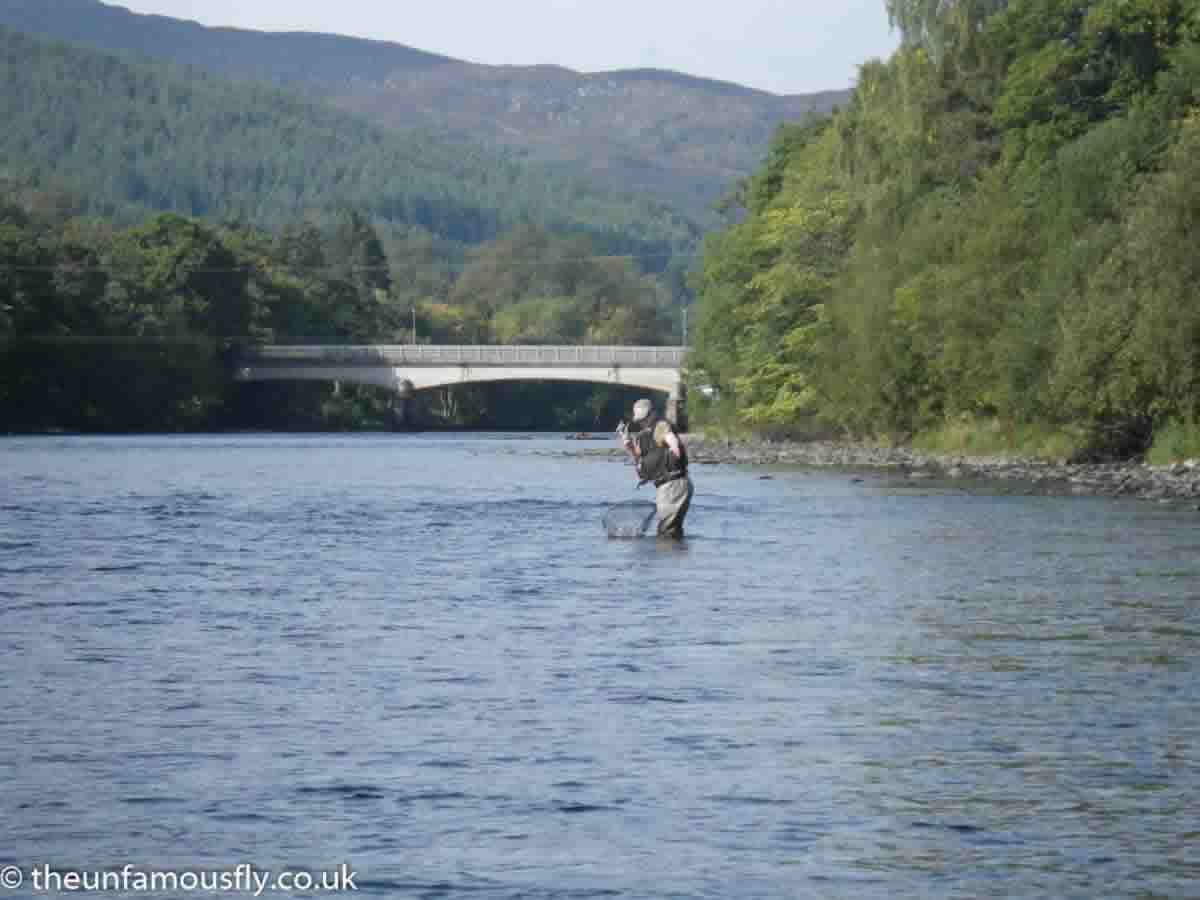
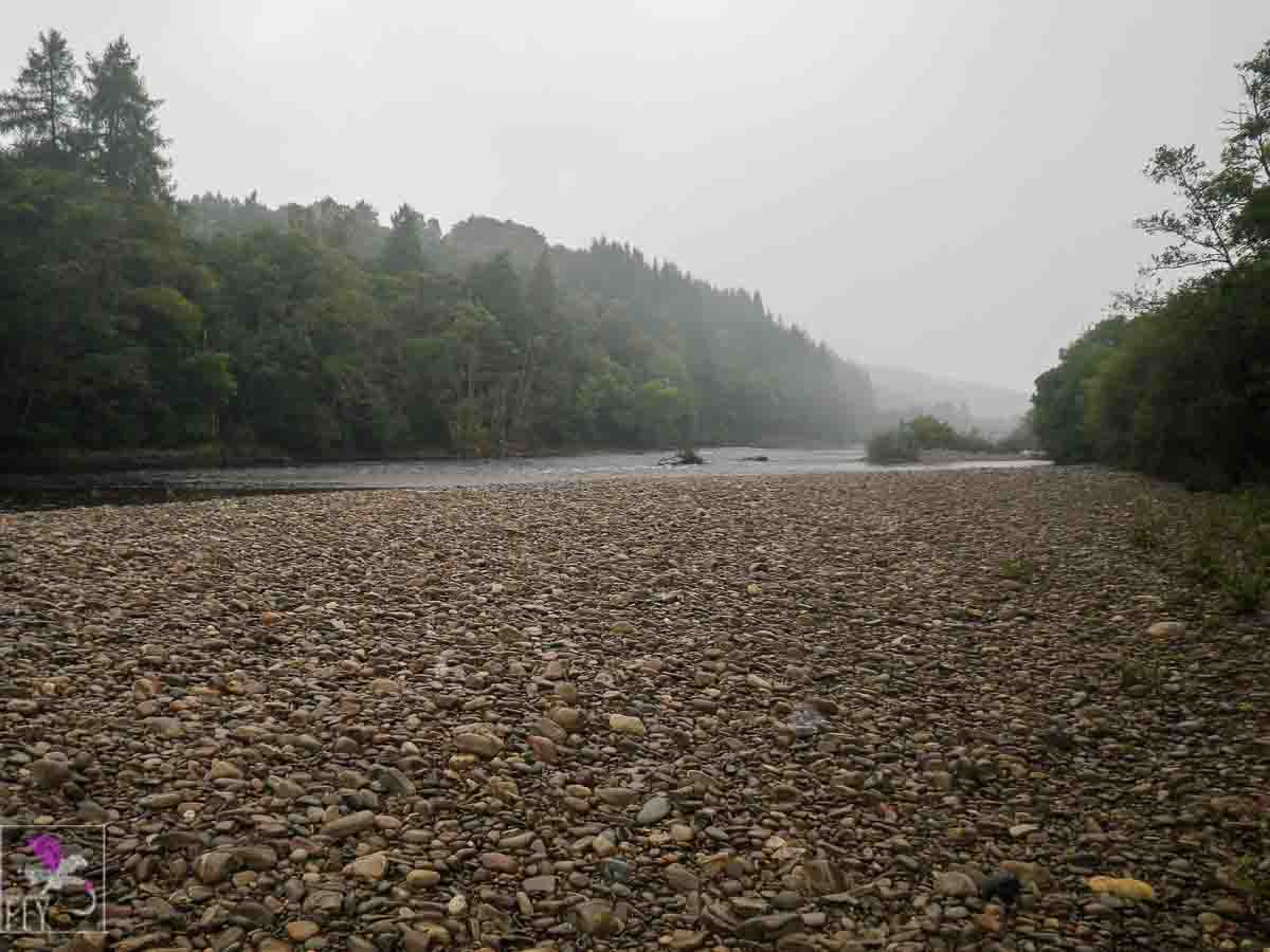
The Tummel runs almost entirely over a bottom of large round smooth pebbles. This can present challenges to wading in some areas and is liable to change from season to season.
Access
The river runs tantalizingly close to the A9 and you kind of wish you could just stop your car at the roadside or in a layby and make your way onto your chosen spot. Unfortunately, it isn’t as easy as that. Places to park up are a little sparse and really it is only with a little local knowledge that you get to know where you can stop or pull in. Some of the spots really do require you to have your wits about you as if you miss them you might be looking at a 12 mile circuit to get back to try again! Aside from the A9 that runs mostly up the eastern side of the river, there is a small side road that follows the western bank from Ballinluig up to Pitlochry. You can only catch glimpses of the river from this road and there are few “formal” places to stop, usually it is a case of finding a bit of verge on a bend or an unused gate and being prepared to walk across a little countryside to reach the water. As in all things it comes down to common sense. Wherever you choose to park, park considerately, don’t block entrances, don’t walk across planted fields and close any gates behind you. In summer probably the best way to take on the Lower Tummel is with a friend and two cars. Park one at Ballnluig and one at Pitlochry and walk from one end to the other. It should be a good days walk and fishing when the days are longer in summer. In winter you need to lower your horizons a little and accept that you need to park nearer the section you choose to fish.
I will happily state here and now, I have not fished all of the Lower Tummel and I do not know the local names of all the sections. I do know some and where possible have listed them below. As my knowledge of the river increases this page will be updated accordingly.
Ballinluig
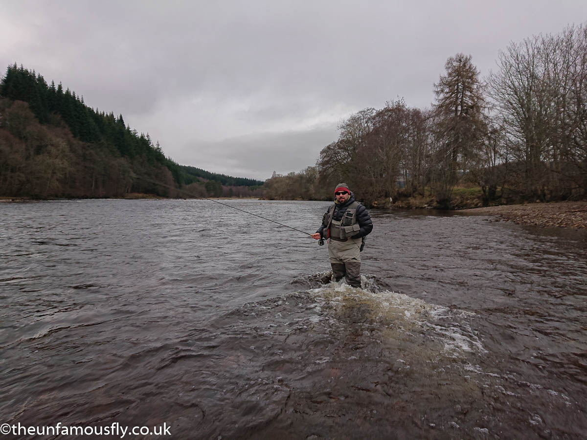
A popular section for two reasons, the parking is easy and it is conveniently near Ballinluig Services where many anglers meet up at the cafe to have a hot filled roll and a coffee before a days fishing! The A827 from Ballinluig to Aberfeldy crosses the river just off the Ballinluig roundabout by the A9. Take this road and then an immediate right down a side road BEFORE you cross the river. If you find yourself crossing the river you have missed the entrance. Also, do not make the mistake of using the roundabout exit that is marked “Local Access”- this is a dead end. There is some sort of Scottish Water Plant down here, you can park here just don’t block the gate in case SW need access. There are big rocks by the road you can park near. Also do not block this wee road as locals use it to access the football pitches beyond. The river is just down to the left though be aware that the Pitlochry Angling Club water does not start right at the bridge as you might expect. There is a large sign on the bank that indicates the boundary of the lower beat which is private. You can fish here and provided you make your way through the trees, to suitable access spots there are quite a few areas fishable within 300 metres of this spot depending on the height of the water. The river seems to slope from the east side out towards the west bank getting deeper and faster as you edge out, near the bridge. Further up there is a boulder island and when the water isn’t too fast it is possible with care to work your way out here to fish the channels where the river splits. Some of these channels are very deep. The west bank is better fished by trotting as it seems pretty deep right by the edge, at least in Autumn/Winter.Milton of Dalcapon
I truthfully do not know the local name for the next section I will describe but the nearest name on OS Maps is Milton of Dalcapon. You need to walk through the woods for about 1 mile to reach here. Overall it isn’t a hard walk but it is not a made up footpath either. I would strongly recommend you consider leaving your rod broken down until you are ready to fish as you will be constantly having to avoid snags off the trees and bushes. In winter it can be wet underfoot and slidey. Also there is a concrete culvert that I think provides a route for water to flow down off the A9 which is nearby and this can be a significant challenge to get across. You are not going to simply step into this and cross it. It is steep, slippy and you are at a real risk of taking a nasty tumble here. If you are at all infirm you might want to think again. There are a couple of planks as a sort of bridge you can cross but this isn’t “that” solid either, near the top by the fence. However, once you have negotiated this you will come to a short area that appears surrounded by a fence with a style. When the river is low this area is a dry beach of bouldery stones but there is a good stretch of water here that is easy to wade until the current proves too fierce.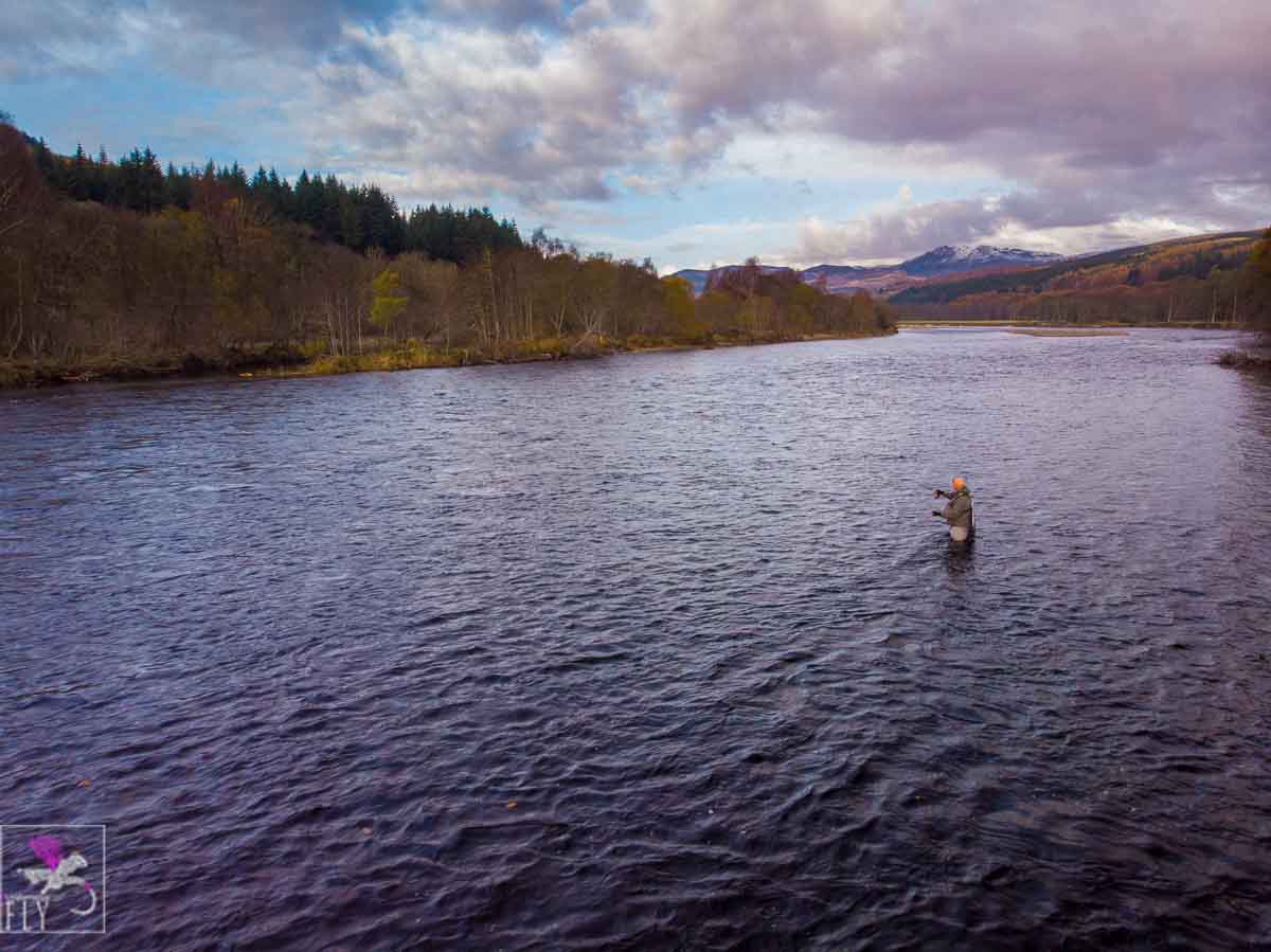
Moulinearn
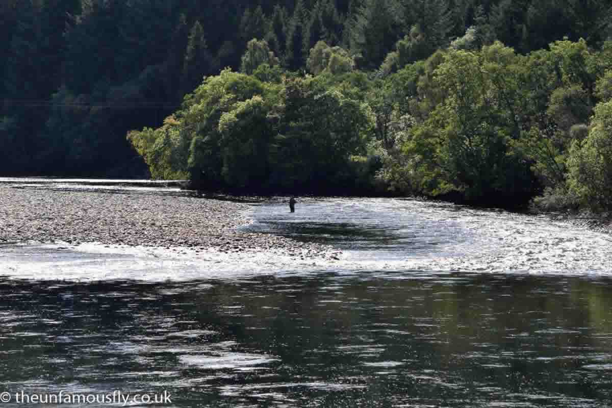
About another 1/2 a mile north the next section is Moulinearn. Watch for Deer and signs of Beavers as you make your way here. You used to be able to park at Moulinearn, and maybe if you know the right people to ask, you still can, however to the best of my knowledge they don’t like you bringing vehicles here unless you have a salmon ticket. Purely for information ( you might be a Salmon angler), to access with a vehicle as you drive north on the A9 watch for the Moulinearn exit just north of Ballinluig, best not to be hammering along at the National Speed Limit if you want to get here without a 40 tonner being embedded in your boot! At the turn off there is a level crossing that requires manual; activation to cross. I seem to recall a code or something being needed and there being a sign saying that access is restricted. A number of winters ago the access road, once you were across the railway was washed away in good part by some massive flooding. I think some of it has been restored but as I say access is limited so assume if you want to fish here you need to walk in. Moulinearn is a lovely section of water, the lower run is a long straight of maybe 200 metres, that has a high bank and a steep slope to the bottom so can be hard to access.Where the trees start further up the water is much more accessible and the amount of water fishable will be determined by water height and speed. The high fir trees on the far bank shield this entire section from sunlight in winter, so it can be quite cold! You could easily spend a day fishing this entire section.

East Haugh
This beat is accessible by vehicle with convenient parking. However, you really need to know where the access is as it is a very sudden, sharp turning off the A9. It comes up fast and is un-signed shortly after Moulinearn directly off the A9. A small narrow track runs right along the side of the railway ending in a narrow turning area by a foot crossing over the railway. It’s a handy area to tackle up before crossing the footway level crossing to the river side of the railway. Make sure no trains are coming first! You have quite a bit of East bank fishing here and though I have not attempted it myself as its quite uneven underfoot , if you are big and strong enough and again the water level isn’t overly high, cross to the other side just below the fast water that is in the middle of the beat.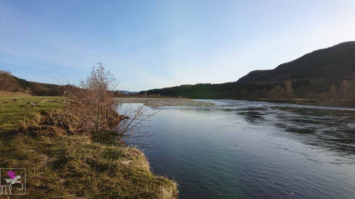
Dunfalandy
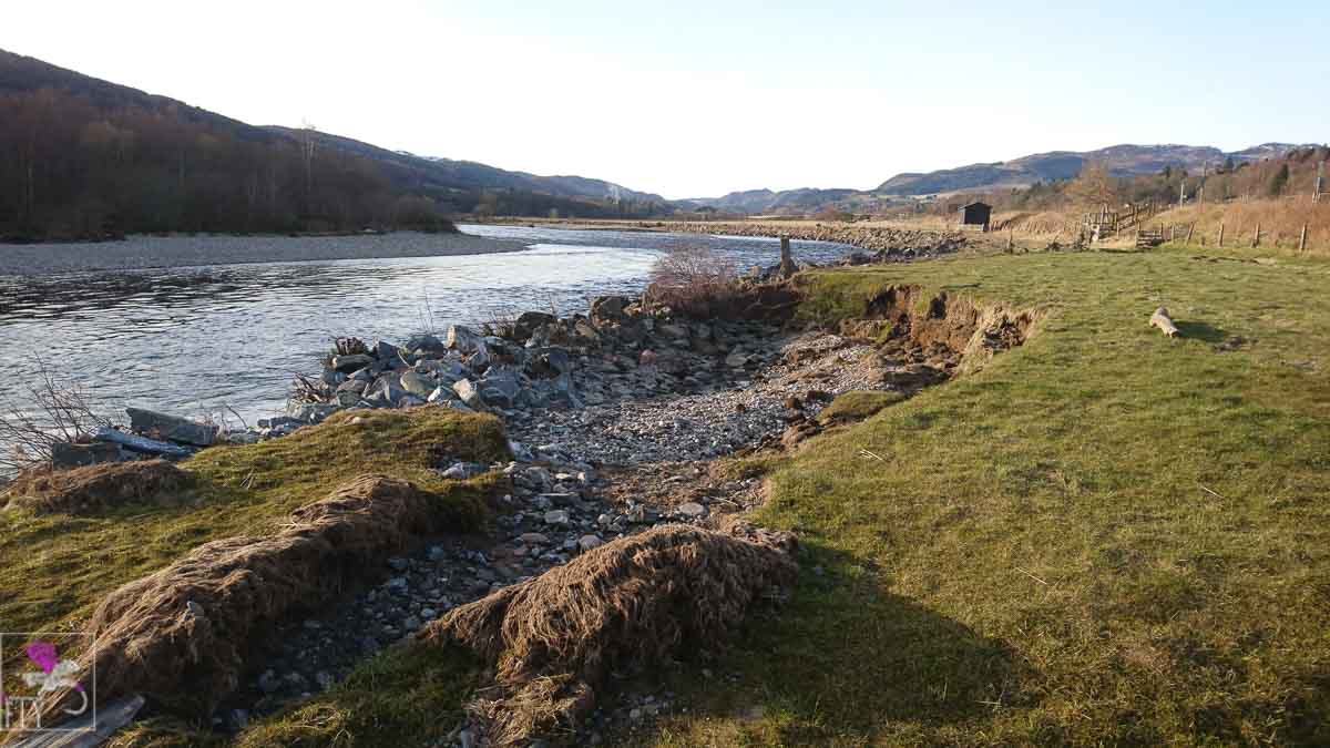
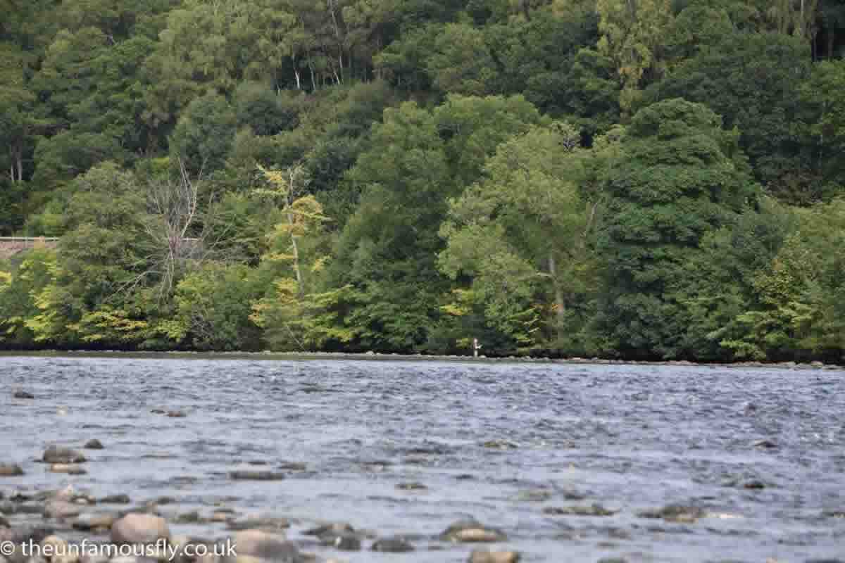
Again, I am going by names on maps here so it may have a better known beat name. This section when I accessed it required us to park on the west side of the river and walk around a couple of fields. At lower water you can cover a pretty large area of mixed pocket water and flats here. Parking was basically wherever you could find a safe place to tuck in off the narrow road. I recall a bend with a farm gate that was OK for one or two cars. Wading was fine either side of a bridge that carries the A9 over the river.Pitlochry Caravan Park
This is quite a popular and well-known section though for my part I have fished it only once. I do not know what the access is like from the caravan park, I suspect if you happened to be staying there you could get onto the water from there. However, for my part I accessed the river, parking just off the Pitlochry access road on the grass verge ( which as I recall is very wide). You could then walk along the side of the road and you get down to the river bank down an access road used by the Royal Mail sorting office. There is plenty fishable water on the east side though not sure if you can easily cross over- you couldn’t even at low water, the last time I was here. Just a little way down stream there is a long flat that seems pretty deep and I did see folk fishing off the west side so presumably, access was something like Dunfalandy above. One to explore.