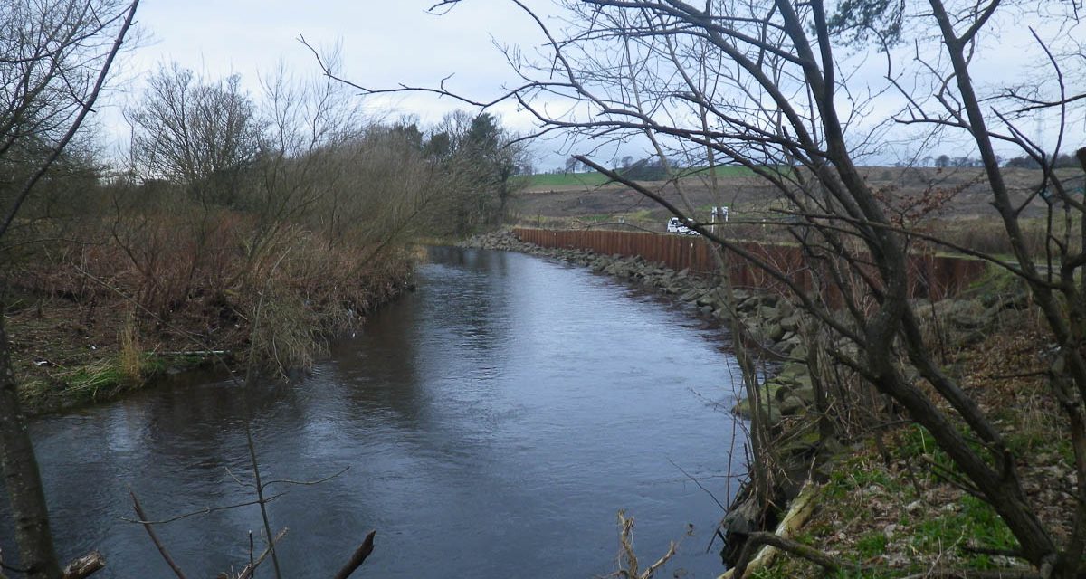
You can download a beat map of the River Carron that runs through Dunipace/Denny Larbert and Carronshore. I am not sure if this is given out with permits or not but it seems to be something many anglers have found useful in the past and I only found a copy in a very old link on a rather unused forum somewhere, yet clearly people still look for this kind of info. The map was created by Roger Geary (see comments below) and the official up to date(ish) version of the file can be found on the MediaFire platform at this location.
This file is in JPG format and is just over 1.2Meg to download.
However, if you visit my River Carron Information page you will find information on the beats, where to park and a map accessible from Google Maps that I have created myself with much more useful information, where to park and photos of the sections, that you can access on a smartphone while on the go.






Hi, The Carron River Map shown here is something I drew up a few years back…….It’s fine for it to be published here but the link source ought to be preserved for the benefit of updates I make to it from time to time. It is listed on the Media fire file hosting site (http://www.mediafire.com) and the link to get the current version is… http://www.mediafire.com/?cr597p2nc4j5syy
R. Geary
Thanks Roger, I have credited you with the maps production and also provided a link to the hosted file on Mediafire.
Thanks.
Just a suggestion, would the file not be better hosted on the River Carron Fisheries Management site, where anglers might look for it? Just a thought?
cheers
It has been offered but not taken up yet
Thats a shame- hopefully they come round to the idea as its a useful resource.
cheers
Kenny